OUTNORTH'S TIPS:
BEAUTIFUL HIKING TRAILS IN SWEDEN
Here we highlight 9 different hiking trails in southern, central and northern Sweden. In each area, we’ve picked trails that offer their own kind of unforgettable nature experiences. Maybe one of them will be the adventure you choose this summer?



Hiking trails in southern Sweden
Here you can lose yourself in enchanted fairytale forests, sunny windswept coasts, beautiful cultural landscapes and much more. Let us show you three great hiking options in southern Sweden.

MÖRBYLÅNGALEDEN, Öland
Practical info:
- Total distance: 84 km
- Recommended hiking time: 5 days
- Stage length: 12–18 km
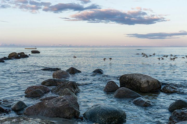
Deciduous forest, coastal meadows and the great alvar plain
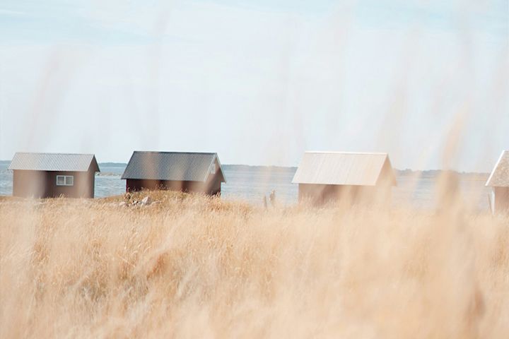
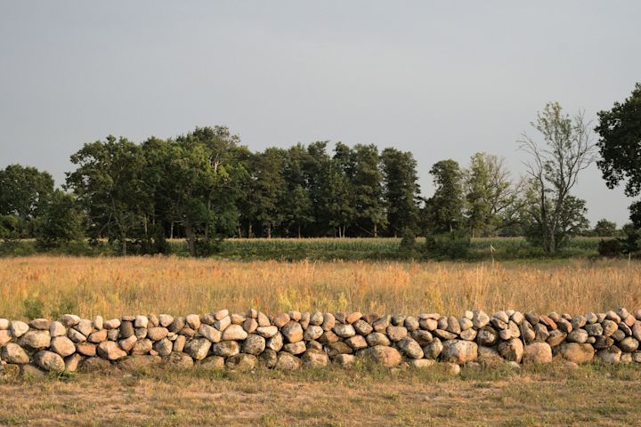
When you hike on Öland, you move through a living World Heritage site where nature and agriculture have shaped the landscape together for thousands of years. The trail leads you from open farmland and leafy woods to the barren alvar and wide views over the Kalmar Strait and the Baltic Sea.
Ending each day at a pre-booked place to stay makes it easy to relax, enjoy the landscape, go for a swim, explore small villages and visit galleries and farms along the way. At the end of the hike, the southern tip of Öland awaits with the Långe Jan lighthouse and the Ottenby nature reserve, famous for its rich birdlife.
Unique experiences
-
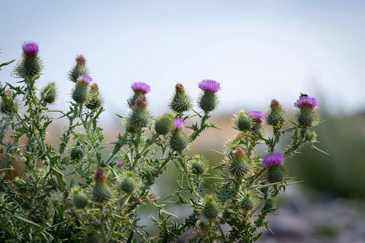
Stora Alvaret: One of the world’s most distinctive cultural landscapes – harsh, open and home to a very special mix of plants and animals.
-
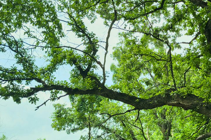
Mittlandskogen: Europe’s largest continuous deciduous forest area south of the Scandinavian mountain range.
-
Coastal World Heritage landscape: A mix of farmland, sea views and coastal meadows that’s typical of Öland – but rare in the rest of Sweden.
Practical info
-
Water/food along the way: You can buy food and drinks in a few places, but you’ll need to carry your own food and water every day. There are also a few restaurants along the route, such as Allégården Kastlösa and Gammalsbygården.
- Accommodation: Hotels, guesthouses and hostels – possibly a night in a tent (respect nature reserve rules, avoid disturbing grazing animals and keep a distance from houses).


JOHN BAUERLEDEN, Småland
Practical info:
- Total distance: 58 km
- Recommended hiking time: 3–4 days
- Stage length: 15–25 km
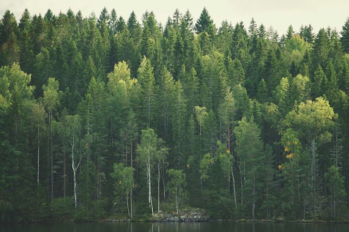
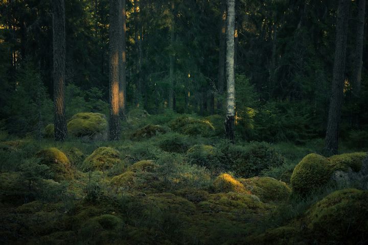
Magical hiking through deep fairytale forest
The trail runs through a landscape that shifts between deep forest, lakes and open farmland. It stretches between Huskvarna and Gränna and suits hikers with some experience, or beginners who are up for a bit of a challenge.
The trail is named after the artist John Bauer, who found the inspiration for his fairy-tale paintings in these very woods.
Unique experiences
- Röttle: The trail winds through the charming village of Röttle, with cultural remains from the Middle Ages and wooden houses from the 18th century.
- Gränna: One of Sweden’s most distinctive small towns, with cobblestone streets, low wooden houses and a town center that has preserved its 17th-century character. The town is also home to the classic polkagris peppermint candy – a perfect reward when you finish your hike.
- Viewpoints: The trail offers impressive views over both Lake Vättern and Landsjön.
Practical info
- Water/food along the way: Limited access. The safest option is to refill water in the towns at the start and end of the trail and in the villages you pass.
- Accommodation: Shelters or tent. Some sections can be combined with overnight stays in nearby towns or villages.


SKÅNELEDEN, Skåne
Stage Torekov–Vejbystrand
Practical info:
- Total distance: 20 km
- Recommended hiking time: 1 dagar
- Stage length: 20 km
Between coast, culture and open horizons
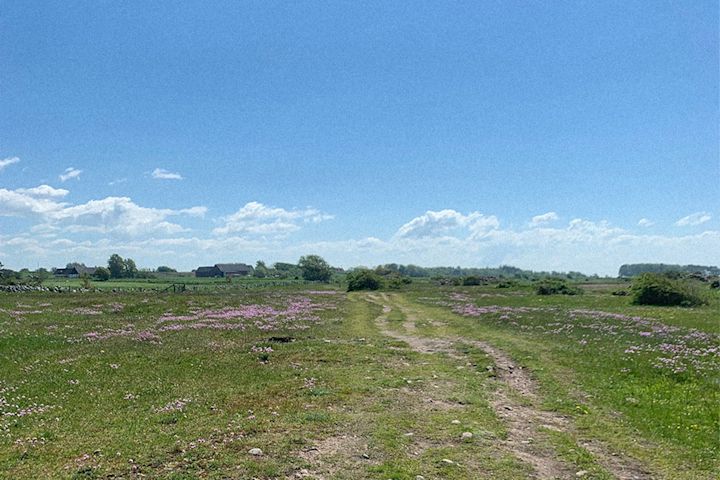
The Torekov–Vejbystrand section of the Skåneleden Trail is a scenic coastal hike that takes you through open pastures, shoreline paths and classic coastal scenery on the beautiful Bjäre Peninsula. The hike offers a mix of sea views, cultural history and rich wildlife.
The trail passes the well-known village of Torekov, with its genuine small-town feel and older wooden houses. From there, you continue along the coast through grazing land with the sea right beside you. The stage then winds on towards Vejbystrand, where you can enjoy a beautiful coastal landscape.
Unique experiences
- Food, drink and craft shops: Along the trail you pass small farm shops, local cafés and artisanal food producers that reflect the region’s strong food culture. Make time to eat and drink well when you hike this section.
- Dramatic nature: This stage offers a coastal landscape that constantly changes along the route. You walk through open pastures with the sea on the horizon, and along shoreline paths where the scenery shifts from soft, green hills to more rugged stretches of rocky coast.
Practical info
- Water/food along the way: Limited access. You can refill water at the start and end of the hike.
- Accommodation: Recommended as a day hike. If you’d like to split it up, there are overnight options in both Torekov and Vejbystrand.

Hiking trails in central Sweden
Here you’ll find everything from easily accessible highlands to deep forests, sparkling lakes and vibrant cultural landscapes. If you’re craving sea air, there are thousands of islands to explore in the Stockholm archipelago. Read on for tips on three hiking experiences that go beyond the ordinary.

SILJANSLEDEN, Dalarna
Stage Fryksås–Rättvik
Practical info:
- Total distance: 60 km
- Recommended hiking time: 4 dagar
- Stage length: 9-17 km
Mountain pastures, deep forests and classic Dalarna scenery
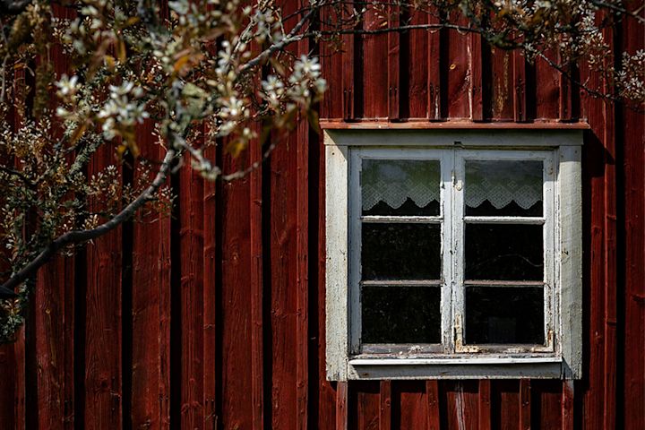
You follow in the footsteps of the people of Dalarna through lush forests, well-preserved summer grazing farms and villages with traditional red cottages. From the wide views over Lake Orsasjön at Fryksås’s mountain pastures, the trail drops down towards Orsa and then follows the historic Dalkarlsvägen route to Rättvik.
The trail is full of cultural and historical gems – not least Rättvik Church, which dates back to the 13th century.
Unique experiences
- Fryksås mountain pastures: Sweden’s largest preserved summer pasture area, with sweeping views across Lake Orsasjön.
- Dalkarlsvägen: A historic route where people from Dalarna walked towards Stockholm as early as the 1500s – a living cultural trail lined with villages, farmland and forest.
Practical info
-
Water/food along the way: On the first and last day there are shops and restaurants at the stage finish. On the other days you’ll need to bring your own food. Water is available in some streams along the trail – be prepared to carry water for longer stretches.
-
Accommodation: Hostels and tents.

JÄMTLANDSTRIANGELN, Jämtland
Practical info:
- Total distance: 47 km
- Recommended hiking time: 3 days
- Stage length: 12–16 km
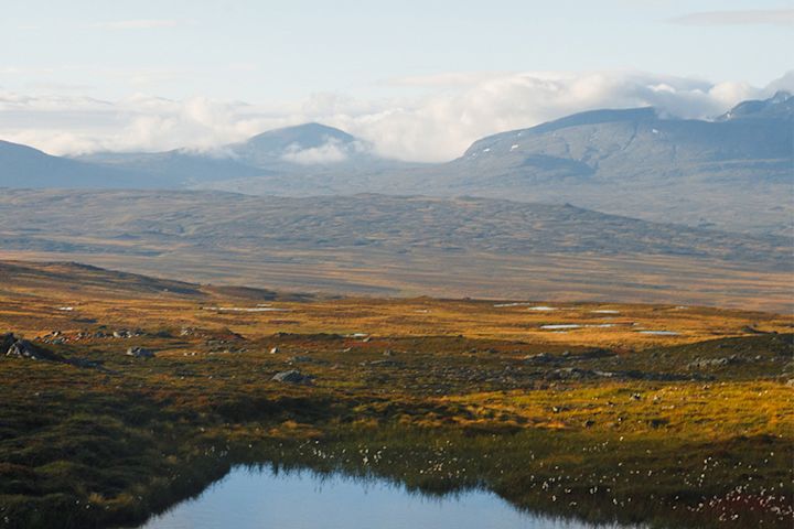
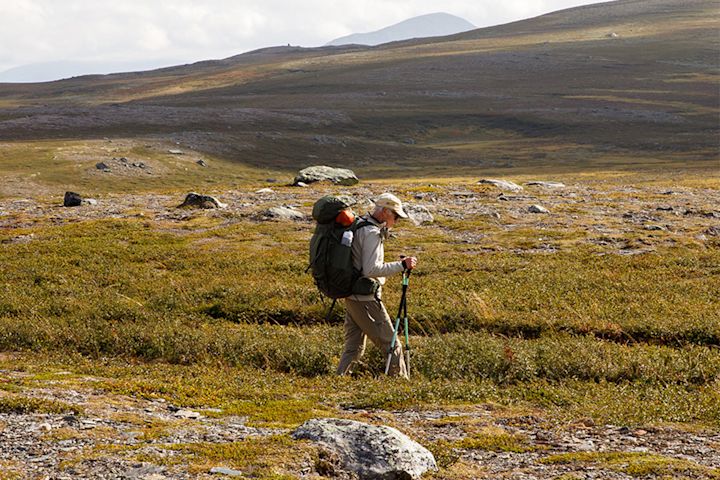
Rolling highlands and endless views
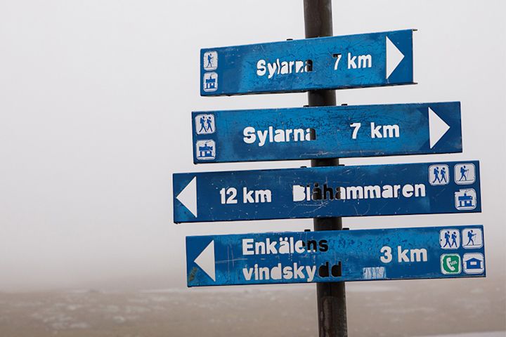
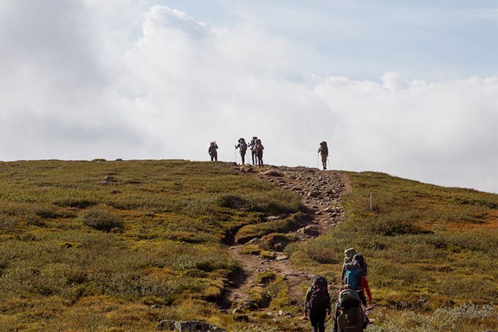
A classic, well-known mountain hike with grand views – the Sylarna peaks follow you for much of the first stage from Storulvån to Sylarna.
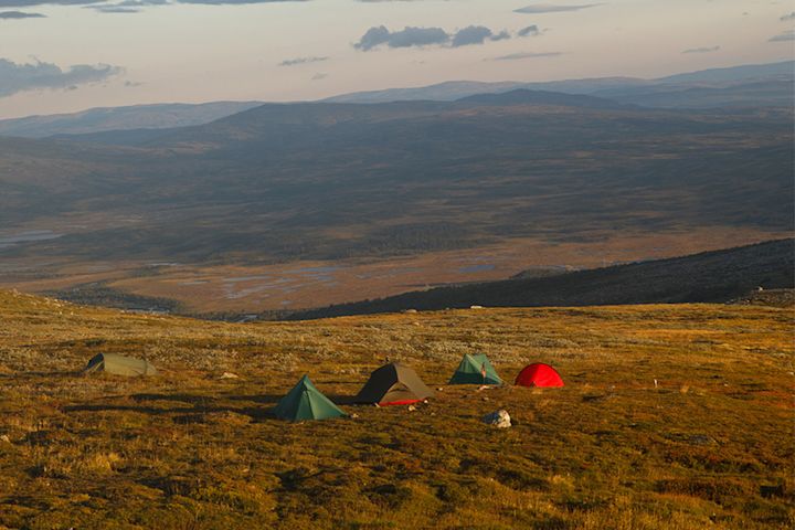
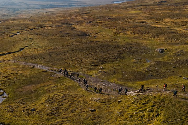
The trail runs between several mountain stations where you can both stay overnight and cook your own food. You choose whether to spend the night in a tent or at the STF mountain stations.
On day two you hike through rolling mountain terrain that ends with a slightly tougher climb up towards Blåhammaren. On the final day, the trail returns to Storulvån through relatively easy terrain.
Unique experiences
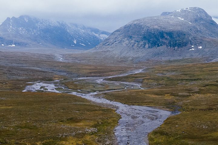
- Sylarna: Here you’re met by an iconic mountain massif, with snow-covered peaks well into the season – one of Sweden’s most alpine views.
- Blåhammaren mountain station: Stunning sunsets (when the weather cooperates) and long, open views across the highlands.
Practical info
-
Water/food along the way: You’ll find water along the entire route in small mountain streams. At the mountain stations there are small shops where you can top up on food, snacks and other essentials.
- Accommodation: Hostels and tents. STF’s mountain stations offer indoor lodging if you prefer not to camp.
ROSLAGSLEDEN, Uppland
Stages 9 & 10
Practical info:
- Total distance: 35 km
- Recommended hiking time: 2-3 dagar
- Stage length: 17–18 km
Archipelago atmosphere meets cultural landscape and rippling waterfalls
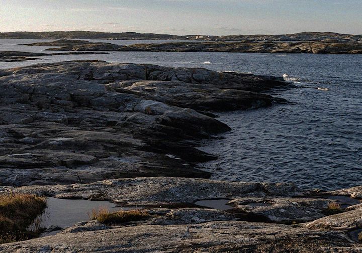
Here you hike from Roslagsbro to Sandviken through a varied coastal landscape where forests, lakes and bays take turns. You get a clear sense of both inland and archipelago: from bird-rich Lake Brosjön and the rippling Kvarnfallet waterfall, then on along old church paths, swimming spots and open views down towards Bagghusfjärden.
The trail continues along the Väddö Canal with its maritime history, nature reserves and living cultural landscape, before you reach Sandviken campsite on Väddö’s east coast – with a sandy beach and views across the Sea of Åland.
Unique experiences
- Bird lake and waterfall: The rich birdlife at Brosjön and the rippling Kvarnfallet waterfall offer beautiful freshwater scenes that contrast nicely with the coastal environment.
- Cultural landscape with an archipelago feel: An unusual mix of old oaks by the sea, maritime history, grazing land and sandy beaches with views towards the Sea of Åland.
Practical info
-
Water/food along the way: Some services by Lake Rådasjön and good options to restock in Älmsta (shops, cafés, restaurants). Otherwise, you’ll need to carry food and water for the longer stretches.
-
Accommodation: Wild camping under the right of public access in suitable spots along the trail, simple cabins/campgrounds, plus cabins and tent sites at Sandviken campsite on the coast.
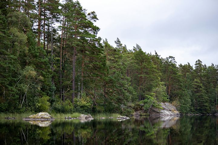

Hiking trails in northern Sweden
Here you’ll find vast mountain plateaus, deep forests, powerful river valleys and a dramatic coastline where the cliffs drop straight into the sea. Read on for three hiking trails in northern Sweden that offer some of the country’s most spectacular nature experiences.
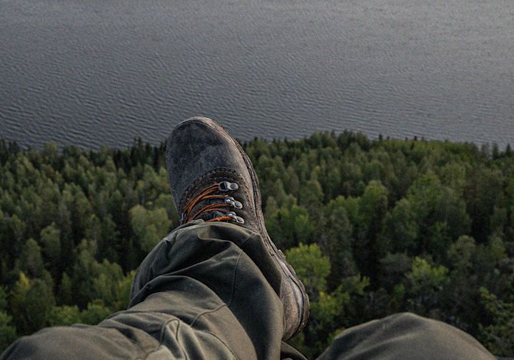
HÖGA KUSTEN-LEDEN, Ångermanland
Practical info:
- Total distance: 135 kmm
- Recommended hiking time: 9 days
- Stage length: 11–27 km
Archipelago, forest and dramatic viewpoints
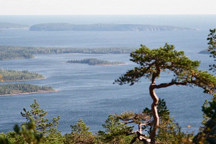
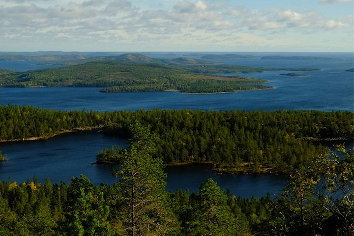
A scenic hiking trail that follows the coast, forested hills and a series of dramatic viewpoints. You hike through one of Sweden’s most unique areas, with about 135 km divided into 9 stages between Hornöberget and Örnsköldsvik.
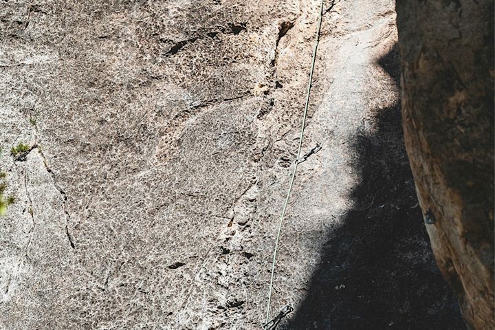
The trail offers huge variety: from archipelago and rocky shoreline to deep forests, stone beaches and small sheltered bays. The last stage is shorter and gives you the chance to explore Skuleberget – for example by trying the via ferrata routes if you want to end your hike with a bit of extra adventure.
Unique experiences
- Skuleberget and Skuleskogen National Park: Here you’ll find ravines, tarns and sweeping views, as well as the famous Slåttdalsskrevan gorge.
- Högakustenbron Bridge: When you cross the High Coast Bridge, you’re treated to spectacular views high above the Ångermanälven River.
Practical info
- Water/food along the way: Availability varies along the trail. Sometimes you can restock along the way, but on some stretches it’s very limited. Make sure you plan your food and water carefully.
- Accommodation: Tents, hostels, hotels, campgrounds and cabins.
KUNGSLEDEN, northern Lapland
Stage Abisko–Nikkaluokta
Practical info:
- Total distance: 107 km
- Recommended hiking time: 5–7 days
- Stage length: approx. 12–21 km
Across mountains, valleys and endless open landscapes
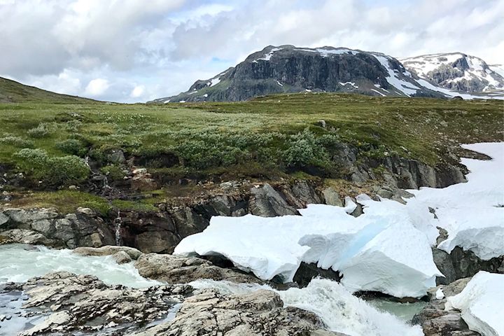
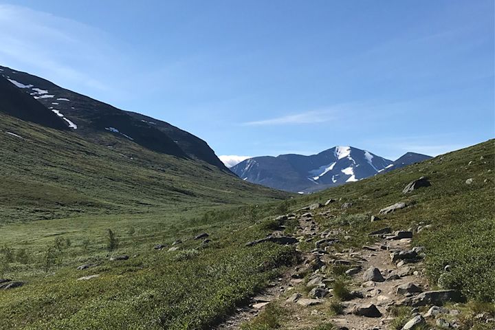
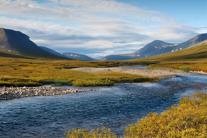
This hike follows the northern part of the famous Kungsleden (King’s Trail). Right from the start in Abisko National Park, you’re greeted by dramatic mountain scenery with birch forest and clear, rushing streams.
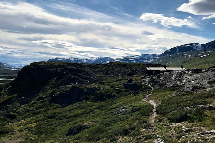
Further along the trail, the landscape opens up into wide mountain heaths and rugged peaks. There are several mountain stations and cabins where you can eat, buy supplies and sleep indoors. The final stretch towards Nikkaluokta leaves the main Kungsleden route, but it’s a popular way to round off this hike.
Unique experiences
-
Lapporten on the horizon: One of Sweden’s most iconic mountain silhouettes, often visible already from the start in Abisko.
-
Kebnekaise: Plan in an extra night at Kebnekaise Mountain Station and climb Sweden’s highest peak, Kebnekaise. It’s a unique experience you really don’t want to miss when you’re up here!
Practical info
- Water/food along the way: Mountain stations and cabins with small shops and kitchens along most of the route. There are no shops in Tjäktja or Singi, so plan your food around that. Water is available in streams along the entire trail.
- Accommodation: Abisko Tourist Station; the mountain cabins at Abiskojaure, Alesjaure, Tjäktja, Sälka and Singi; and Kebnekaise Mountain Station. You can also camp along the trail.
ÖREÄLVSLEDEN, Västerbotten
Practical info:
- Total distance: 110 km
- Recommended hiking time: 3,5-5 days
- Stage length: 8-15 km
Wild forest river, eroded sand bluffs and quiet coastal bays
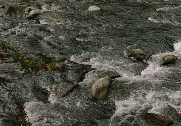
The trail follows the Öre River from its inland forest-river landscape all the way out to the sea on the Västerbotten coast. It takes you through dramatic sand bluffs and deep ravines, along rapids, sandy beaches and flowering hay meadows – but also through small villages, farmland and cultural environments shaped by log driving and forestry.
At times you walk right beside the river with views of the fast-flowing water; at other times you’re up on high ridges with wide panoramas – before you finally reach the outer coast with cliffs, an archipelago feel and inviting swimming beaches.
Unique experiences
- Forest river and sand bluffs: Striking contrasts between the calm stretches of river, roaring rapids and the high sand ridges and bluffs along the valley.
- Traces of the log-driving era: The history of timber floating is clearly visible in both the landscape and the remains – you pass cultural trails, rock carvings, old sawmills and mills.
Practical info
-
Water/food along the way: The river and streams give good opportunities to refill water where it’s clear and running, but the trail doesn’t always follow right beside the water – carry extra water in your pack. There are few shops along the route, so plan to bring your own food for all or most of the hike.
-
Accommodation: Several overnight cabins, shelters and rest areas along the trail, mainly on the upper half. Otherwise, you can wild camp under the right of public access at suitable spots near water, and there are a few simple accommodation options in villages along the way.
The map shows the starting point of the trail. For more information, visit: naturkartan här.